How companies use geoanalytics to their advantage
After a few weeks working from home, everyone might know it: the shortest route from the bedroom to the workstation in the kitchen. Our jambitees also deal with route planning. For example, jambit's experts for artificial intelligence who develop geoanalytics solutions for our customers: How can drivers improve their route planning with geoanalytics? And how can I as an industrial company optimize my logistics processes with geoanalytics?
Whiteboards full of formulas and lively discussions about machine learning concepts. If they are not working from home or at the customer's site, our software developers prepare artificial intelligence workshops, among other things, in the "Machine Learning Office" in the 4th floor of our Munich office. They are united by one thought: to develop tailor-made solutions in the field of artificial intelligence for jambit's customers. The usecases they work on are mainly from the industry and automotive sectors.
Are there proper applications for industry and car manufacturers in Geoanalytics?
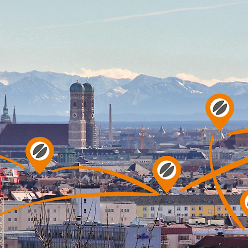
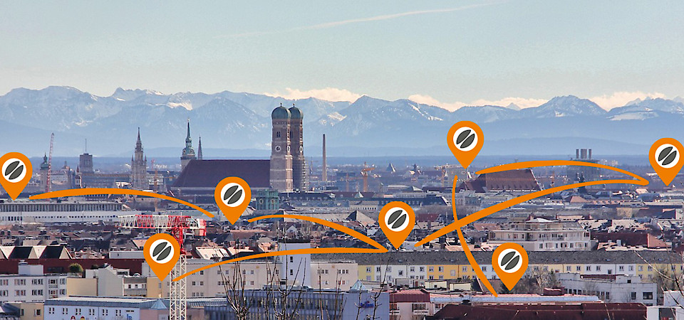
Usecases in the field of geoanalytics create value from location-based data. They support, for example, decision bases for routing. jambitees working at our big city offices in Munich, Stuttgart, Frankfurt and Leipzig have to face the same big city problems: how long does it take to find a parking space in the city center and what would be the best route? When and where is it likely that there will be demand for mobility services at a particular location? Where and how has the surrounding area changed, for example due to changes in traffic flow or new roads?
These are questions that car manufacturers and providers of mobility services such as car sharing or public transport want to answer. With these answers, the planning and service offer for their digital products can be improved. In the B2B area, route plans can be found in logistics & industry. For example in route planning or the vehicle routing problem in the transport of supply chain parts. Location-based data and resulting models and algorithms provide the basis for decision making to use times & costs efficiently and to save money.
How to start a geoanalytics project: the Artificial Intelligence workshop
At the beginning, the focus is on the nature of the problem. To provide customers with an overview of methods and approaches in the field of artificial intelligence, machine learning or geoanalytics, jambit conducts AI workshops to understand exactly what the customer's problem is. Before the actual development, expert interviews with the stakeholders, such as the product manager, the industrial user or even the end customer, is one helpful approach.
What AI projects have in common: you need a problem that can be handled with informatics. Formalizing the problem as a calculation problem helps to gain a functional understanding. Questions are: can we solve the problem with the existing data? Can it be mapped to one or more canonical problems of artificial intelligence? jambit's AI experts then develop prototypes. It is always important for machine learning applications that data is actually available. jambit's AI experts help with orientation, view the data and gain insight into its properties.
Which methods do AI experts use for geoanalytics?
Various methods are used to generate added value from the data. A standard problem from the field of machine learning: which are the properties of a location? Standard regression or classification methods will help. In addition to machine learning methods, inference methods such as probabilistic inference or combinatorial optimization are often used. Probabilistic inference, for example, is about drawing the right conclusions from observations that are uncertain or unreliable – for example, from sensor data about the environment collected in a vehicle while driving. In combinatorial optimization, you are looking for solutions in a large solution space of possible combinations that best fulfill a certain criterion.
For example, if you want to use sensor data from vehicles to create a map of the environment with highly accurate road courses, you have to assign the sensor data to the objects in the environment to which they refer (data association problem). The set of algorithms that can be used is very diverse, depending on the specific problem. Often, there is no existing algorithm that can be used immediately without modification. Therefore, a tailor-made AI concept and competent AI experts who are able to transfer usecases from industry into concrete solutions using current scientific methods are needed.
An AI concept may combine different algorithms and models to find a solution. Once the right set of methods for solving a problem has been found and successfully implemented in a prototype, it is time for fine-tuning: the analysis of improvement possibilities and detailed problems and the subsequent iterative improvement. At the end of the development, there may be a deployment, which could, for example, provide a service that makes the developed algorithm or models easy to use. In addition, the resulting information can be made visible via a front-end, for example visualized as a map layer.
Geoanalytics know-how from research
Experts for a geoanalytics project need specialized knowledge beyond addressing classical data science questions. "In the field of geoanalytics, we work with specialized algorithms for e.g. localization, mapping and search, and knowledge of geo coordinate systems and maps as well as their representation and optimization play a role", Dominik Jain, Senior Software Architect at jambit, summarizes the special requirements for geoanalytics projects. Dominik Jain researches in the field of geoanalytics on crowdsourced mapping and routing, among others. Together with BMW, he developed the paper "Crowdsourced HD Map Patches Based on Road Model Inference and Graph-Based SLAM", which examines, among other things, how autonomous driving can profit from crowd based information in the future.
This is because maps are merely a representation of geographical reality. The problem class SLAM (simultaneous localisation and mapping) is concerned with creating a map of the environment from the sensor data of one or more vehicles moving in the environment. The position of the vehicles within the map is not known and must therefore be estimated simultaneously. The environment is constantly changing, so maps have to be adapted again and again. In this way, a map is created automatically by many road users. For developing solutions for the industry with applied research, it requires the right working culture at a software service company. "What I like about the machine learning team at jambit in Munich: all employees have different points of reference. From general AI know-how, computer vision, mathematics and optimization to geoanalytics. The research background and the enthusiasm to solve real problems of our customers unites us", says Dominik Jain.
Would you like to get a broader overview of our services in the field of artificial intelligence?
In our portfolio we show which AI application areas we cover for our customers. Or simply contact our experts directly.

